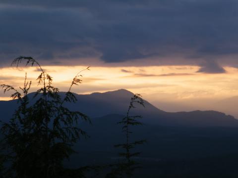
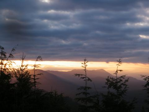
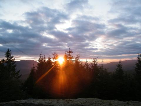
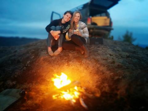
Did some exploring yesterday and found a new lake and a nice camping spot. We started at Skutz Falls and took the main logging road to the power lines, then followed them for a while and got some altitude. A bit past the lake we found a cool rocky section and camped right on the top of one of the big rocks. Had some beers and enjoyed the 360° view of the surrounding valleys.
This would be a good trip for anyone still wondering where they should go for their scenic photo contest entry! :)
Pics and GPS:
GPS file (Google Earth):
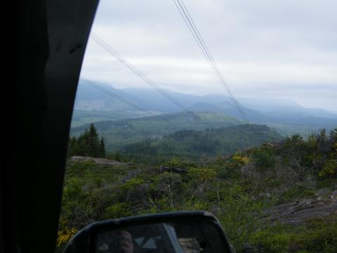
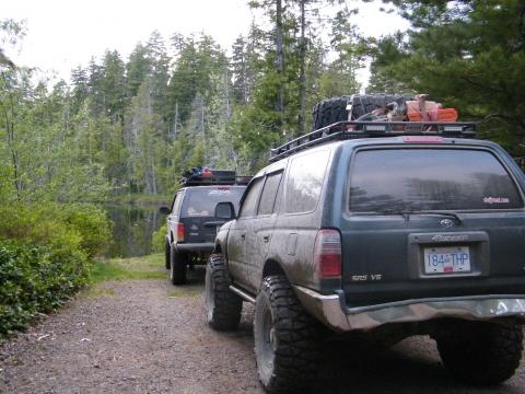
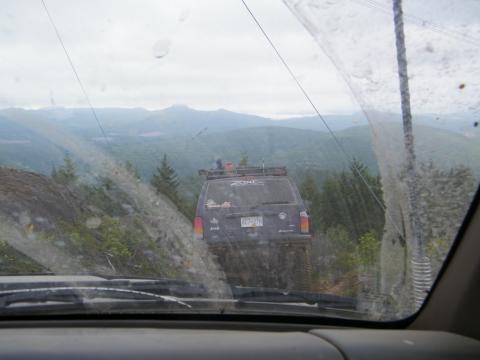
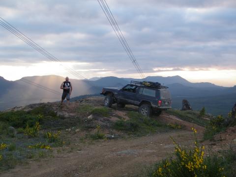
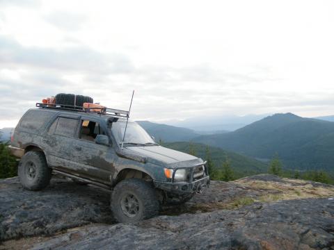
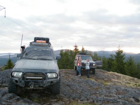
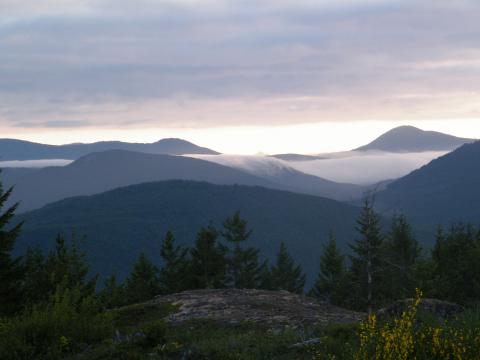
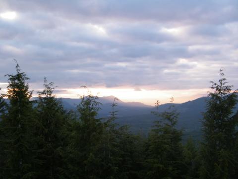
Great pics thanks for sharing.
sweet! how big is the lake?
Pretty small. We weren't looking for it, just happened to stumble on it. It looked like there was only the one water access and it wasn't very big, otherwise we might have camped there. Ended up finding the much nicer camping spot just a ways down the road though, so it worked out well.
very nice!
Very cool!
Let me know next time you head out that way!
Hit this spot for a night the other week, fantastic!
Headed further south after and ended up at koksilah river, which was a great spot for a swim (cold).
ive heard they dug out the top of skutz falls access just where you access the new logging, and its not passable. Havent been myself so i dont know for sure
Downloaded your map and checked this place out today, awesome trails all around. Thank you!
Right on! Which route did you take in - skutz? I know you can also get in there from the Shawnigan side too, though some routes are gated.
Ya I took mayo road into the area, tried to keep going east after coming back down the power line trail but it was gated off that way. Definitely going back to check it out some more though!
As soon as you turn off of the main road heading up the power lines at the second power I believe take a left follow that for a ways and you will see a newish trail through a slash cut to another road go through there turn right on the road and that will take you right into the main line behind all the gates from Glenora side
Gonna try this route out on Sunday. And also try to find that trail to the other side of the gates. One of my favourite camping spots is on the other side and I'd love to hit it up again!
Just got me a hand me down 06 Rubi and will be heading out there tonight. Either that or Sherk.
As trailblazers said. Got up to the second powerline incline and took that left which cuts over to the mainline. Some deep dips along that one. Skimmed my gas tank armour on the stock rubi. Probably would be fine with a 3" lift.
good luck with sherk maybe through copper canyon but no way from youbou side 2 weeks ago there was 2 feet of snow still before the crossover gate! and its been heavily dug out coming down the other side
The Rubes was a champ, Kyle!
Trailblazzers, we got ruined by that decommission coming in from the Hillcrest side... looked super fresh too. We backtracked a bit and got on to the mainline through a fairly overgrown trail. Ran into a gate not long after that though.
We basically had the same experience yesterday. Got to the second incline and didn't like the looks of the really steep next section so we tried to go left to cut over to the mainline but the trenches looked a bit too severe for my Ranger. Backtracked a little and found the somewhat overgrown path but only got about a kilometer down that before a downed tree made us turn back.
Mega-trenching seems to be the norm for TPTB cutting off access to the back country areas nowadays.
They don't just put up a gate or a few boulders and a nice sign anymore when a road is decommissioned, they outright FUBAR it with trenches.
I was out a couple weeks ago and saw what they did to Old Renfrew Road. There's a series of four mega-trenches on the entrance that would be a worthy wartime defense against any land invasion force imaginable. I imagine we're going to be seeing a lot more of these "extreme closures" as the logging companies continue the race to log off the last of the economically viable second growth at an alarmingly unsustainable rate.
Kinda makes me want to get myself a couple of beefy 6 foot planks to keep in the back of the truck...
There's always a way LOL
even a beefed up set of loading ramps would work.
LOL! I swear there's a market now for fold-out bridge/ramp kits. Anyone remember the old ACoE instant bridge video? ;-)