Doing some exploring of the valley the other day and decided to check out the Mount Arrowsmith / Mount Cokely region. Very easy logging road access for the most part but some really amazing views and also a couple of nice lakes. After getting home and looking at the GPS route on Google earth there are a couple spots I want to go back and explore further. I'll update this thread with whatever I find.
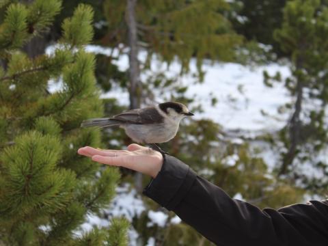
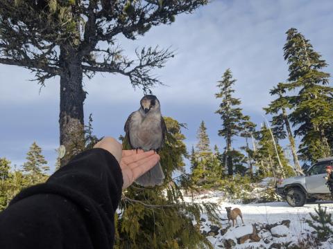
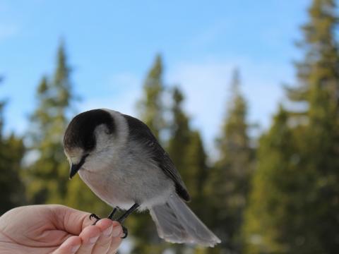
Also we found this one spot with these hilarious little birds that had absolutely no fear. Right when we pulled up they swooped in and one landed on my gfs head almost immediately. We held out our hands and they came and landed on us almost as if on command, it was pretty cool.
On to some pics, and updates to come!
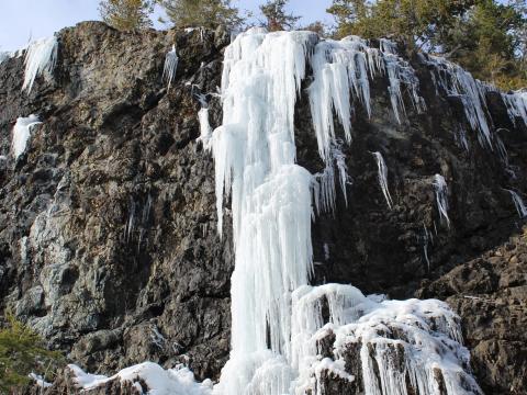
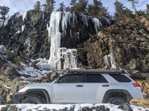
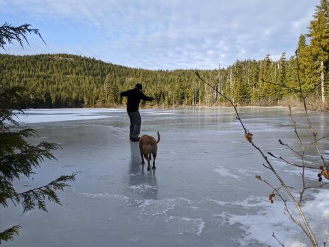
Great pics i was a little concerned when i saw you on the ice though.
That ice was surprisingly thick - pretty sure I could have driven my truck on it (though I wouldn't)!
Great pics, It's been a little while since I've been out that way. I covered pretty much everything interesting from the Nanaimo side (Englishman ML) this year. Girlfriend and I are planning to head out towards Nahmint Lake again soon, you're welcome to join us!
Ah Nahmint is sweet, in fact I know a really good hidden hike in camp spot there. Message me when you're heading that way and we'll meet up!
Great photos! I've never been up past the Arrowsmith trailhead but it looks like there's lots to see up there. The birds are Whiskey-Jack's btw. They're so used to people feeding them that they expect it at this point.
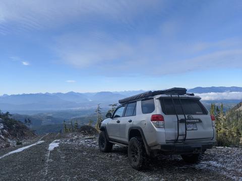
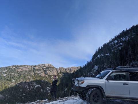
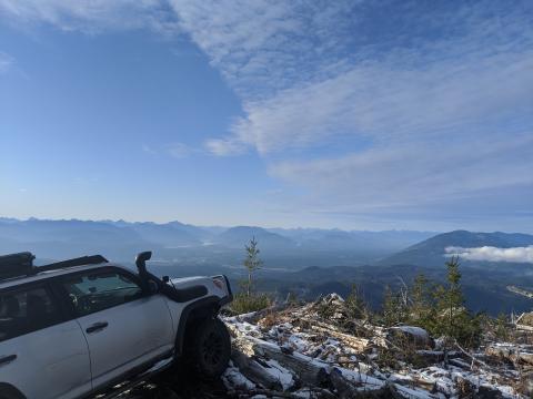
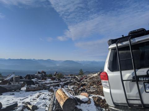
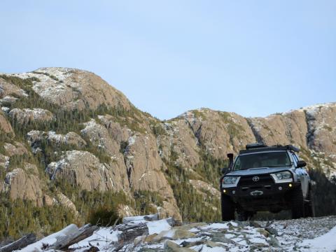
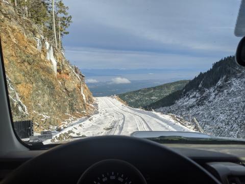
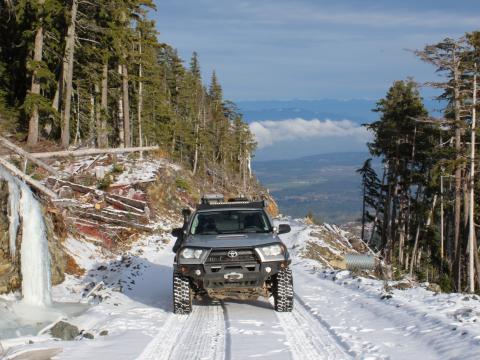
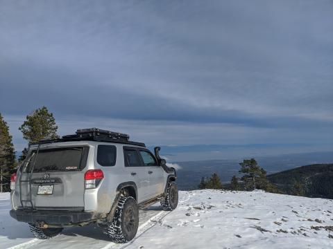
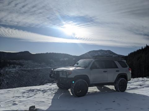
Alright so apparently we missed the money spot our first trip up. Headed back up on the weekend and found this gnarly truck trail that goes way up the mountain ridge and gets some major elevation. This is the highest trail I've found on the Island so far and gets you right into the alpine layer. The trail is steep and loose and I didn't make it all the way to the top because it was icy as hell but I believe it's fully doable in dry/warm weather. This is now top of my list for high elevation camping once the warmer weather returns. It was a cloudy day so visibility was limited, but hey, we were above the clouds so who cares! Here are some pics.
That looks wicked. Would it be stock friendly without the ice?
Definitely not. It's a rough trail and even in good conditions would be difficult without lockers and tires.
*edit - to be clear, the first set of pictures and gps route are all stock friendly - the second set of pictures with the higher eleveation and loose rock trail is not.
Is this the road? BRMB shows it makes it up to 1450m but you can't see it at all in the satellite photos. If the weather cooperates I'll be up that way on Sunday with my brother trying to make it to Jewel Lake and we might see how far we can get if we've got time.
I have 31 inch ko2's, 410 gears and a lsd. Still a no go?
Your marker is right on the top of the trail, but the line to it is not correct - I think that path must be a hiking trail or something. Check out the marker position on Google Earth and you'll see the trail going to it - it comes in from the North, not the West.
If you're going to try it air down quite a bit - it's not that it's particularly high clearance, it's just really loose blast rock and fairly steep.
I see it now, thanks. Looks like you were driving up the old Mt. Cokely ski hill; it's just barely visible as a track on the sat photos. We might give it a try but I'm thinking it'll have to wait until summer for a proper exploration.
Oh that's exactly what it was - I was wondering why forestry would put a road up there above the tree line but the ski hill makes way more sense. I agree summer would be better to get to the top - it's pretty sketchy with the ice right now.
Great pics .Did you use that pass 60 road to get to bottom of this ski hill road?
Can you drive into Jewel lake cause i dont see any road on maps ?
Jewel lake is a few hours hike in. Most of the best spots are. The roads are all built for logging so anywhere you can drive to has been clear-cut fairly recently and they rarely go up into the alpine.
Looks like access is via pass 40. I'm seeing a gate in my paper BRMB but I doubt they lock it much unless there's active logging out that way.
Incredible find and pics Shane. Thanks for posting this up. Looks like this is gonna be a good one come summer.
Got up Arrowsmith this weekend and the road is snowed in by now. Beyond the capabilities of my stock Xterra, but we had some fun flying the drone around and messing about in the snow. There were lots of people up there with quads, kids toboganning, roasting marshmallows, etc. Even saw a sled although I don't think the snow's deep enough for that yet. There was a foot of snow up in the Arrowsmith saddle and maybe 4-6 inches on the roads at the base of the skihill.
We also made it up to Holyoak Lake behind ladysmith
Wow killer shots!
Went back up the mountain today - forgot what a nice area it is up there!
Love the new shots! Looks like a good camping area!
Sweet pics definitely want to do that for the view