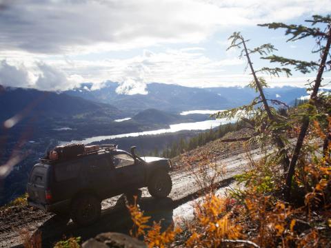
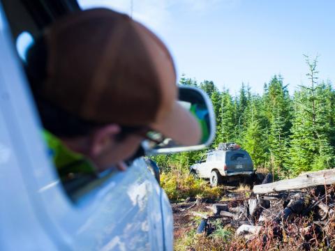
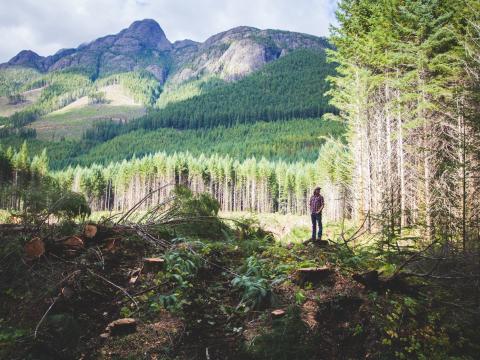
A short While ago, Shane offered to take me an a few friends out to check out some areas by Lake Cowichan. The access was off Hilcrest Road, cut off under the powelines and we checked out various camping spots near the river. I know Shane has the GPS Route for the majority of these, but I must say having him show us around was a major help as this allowed us to avoid some technical features, and helps us not get lost in all the winding roads that are present here. He also took us up to a viewpoint at the top of a logging clear-cut. The access is up the back way and through an older "stump" forest from previous logging activity. This was likely the most technical strip of trail I have ever ridden before. We didn't take too many photos as we were looking at trying out Video, but here are a few snapped while up there. We camped the night by the river, and the next day pushed on to Mt. Prevost and Labour Day Lake Near Nanimo, where we encountered some active logging. I was extremely surprised and saddened at how quick logging tooke place, and we watch a tree being fallen almost every 10 seconds by just one rig, as this was my first time seeing it in person.


Man that looks great. I need to get out there.
great pics. i think i seen you guys on the trail that day.
Hey nice shots! That was a fun run, and yea Darin that was the day we saw you, just before heading up to the top.
I'd be interested to see some of the video you took - is there going to be a public cut?
so when you get to the top there used to be a old crop plane landing strip
Not yet really, chris has been pretty busy and wants more footage... I just threw some of the go-pro footage together here...
https://www.youtube.com/watch?v=Fv4Q_-1mxDc
Video doesn't work.
Works for me?
Doesn't work for me. Video no available.
Doesn't work for me. Video not available.
Works for me!
Works now for me as well.
Happen to have better directions for someone new to the area?